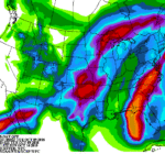
Multiple weather events will be a concern for U.S. agricultural interests during the next several days.
First, Michael is expected to reach western Florida’s gulf coast as a Category 3 hurricane on Wednesday, resulting in major to potentially catastrophic damage due to high winds and—in coastal areas—a storm surge of as much as 8 to 12 feet. Unlike slow-moving Hurricane Florence, Michael will quickly move across the eastern Carolinas on Thursday before further accelerating.
Continue reading A very active pattern Nationwide at Brownfield Ag News.
