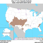
A slow-moving storm will drift northward along the Atlantic Seaboard, reaching New England on Thursday. Additional rainfall associated with the storm could reach 1 to 2 inches in the middle and northern Atlantic States. Meanwhile, a smaller disturbance will trail the initial storm, following a similar path across the Plains, South, and East, and delivering some additional showers. Toward week’s end, cool, showery weather will overspread the Northwest. Elsewhere, warm air will gradually shift eastward from the western U.S., encompassing much of the Plains and the Midwest by the weekend.
Continue reading A warm-up ahead for the Heartland at Brownfield Ag News.
