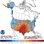
The winter storm system currently trudging through the nation’s midsection will advance slowly toward the Atlantic Coast through the weekend. By Sunday, upper Midwestern snow is expected to reach as far east as the eastern Great Lakes, with a mixture of locally heavy precipitation — including the potential for some freezing rain — dipping southward into the mid-Atlantic. Locally heavy showers and strong thunderstorms may also develop along the associated cold front in parts of the Deep South.
Continue reading Colder, drier weather to return to the Heartland at Brownfield Ag News.
