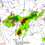
High pressure anchored along the Southeast Coast will maintain dry, very warm weather over the eastern third of the Nation through the end of the week. Meanwhile, a slow-moving cold front over the Nation’s mid-section will be the focus for periods of rain, as a series of disturbances track northeastward along this boundary. In addition, an upper-air disturbance will maintain widespread showers over the Four Corners Region before drifting onto the central Plains by week’s end.
Continue reading Stormy weather returns to parts of the Plains at Brownfield Ag News.
