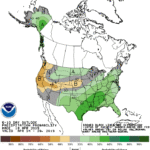
A storm over the Tennessee Valley will drift northeastward and stall, while an accompanying cold front taps into tropical moisture as it sweeps across the East Coast States.
The net result will be a wide swath of 1 to 2 inches of rain (locally more) across the eastern third of the nation over the next three days, with the primary low taking the better part of the upcoming weekend to exit the Atlantic Coast
Meanwhile, dry, increasingly warm weather will prevail from the Midwest to the southern Plains.
Continue reading Warmer; wet pattern centered on the Plains at Brownfield Ag News.
