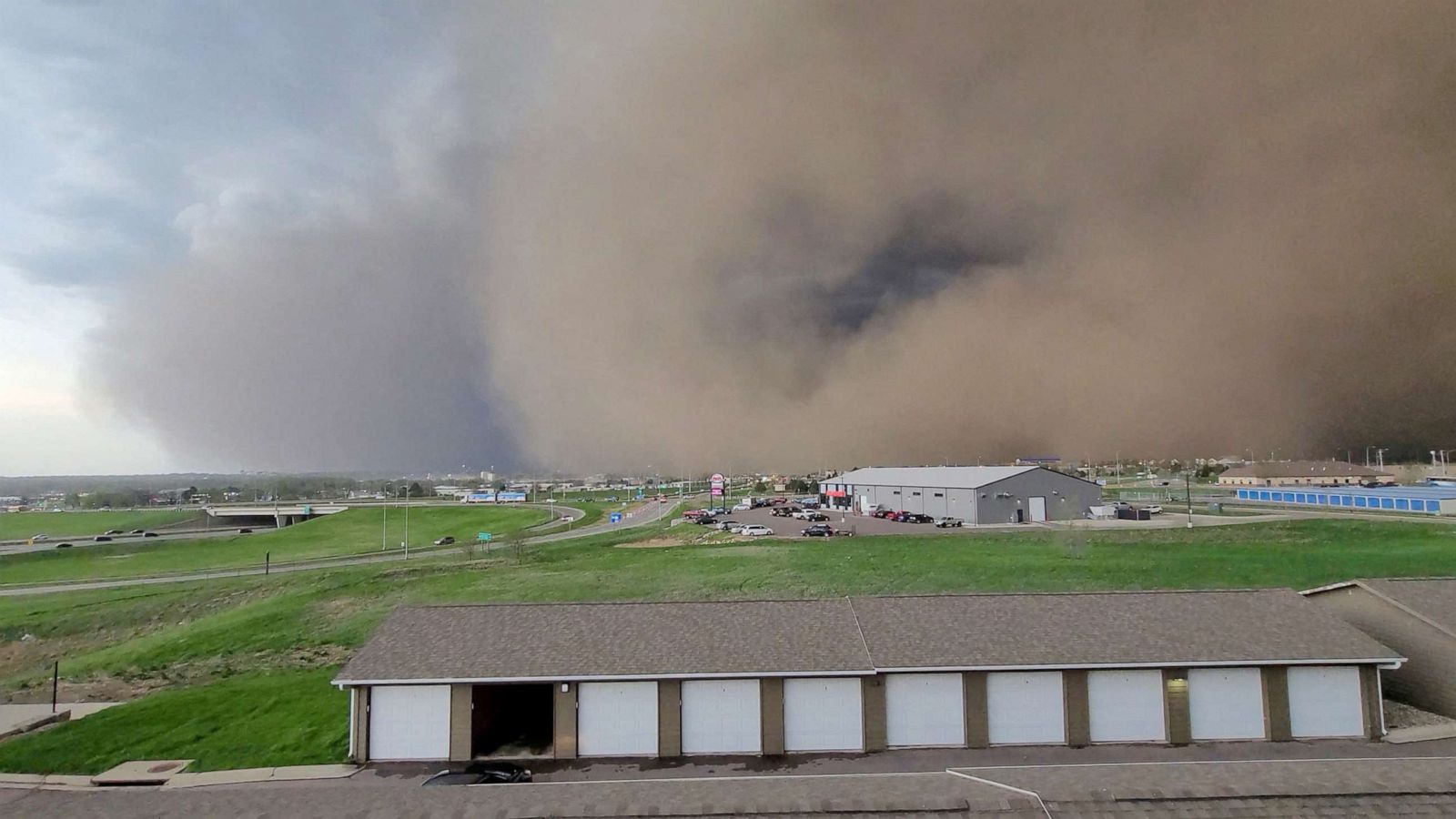
ABERDEEN, S.D. (AP) — The National Weather Service says severe weather so far this year in South Dakota has been an anomaly.
The weather service issued 561 severe thunderstorm warnings in the state as of July 5. That’s 131 more than 2007, when the previous record for that timeframe was set.
“But you know, this is just the first half of the season, so you got to kind of take that into account comparing that to the previous seasons,” said Ryan Vipond, NWS meteorologist in Aberdeen.
While there does appear to be an increasing trend in the number of severe thunderstorms, the National Weather Service says it’s important to note that the way storms are predicted has become more precise and that the standards have changed over time, South Dakota Public Broadcasting reported.
State climatologist Laura Edwards said it’s too early to say what’s causing the increase in storms this year.
“The research I’ve read and followed in the last several years has not led to any distinct tie between frequency or intensity of summer severe weather with climate change,” Edwards said. “Most of the research, so far, up into this point has been inconclusive as far as summer severe weather and relation to climate change in our region.”
The National Weather Service agrees that there’s currently no clear cause for this year’s increase in severe weather.
